Walking and Hiking

All Trails
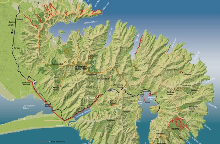
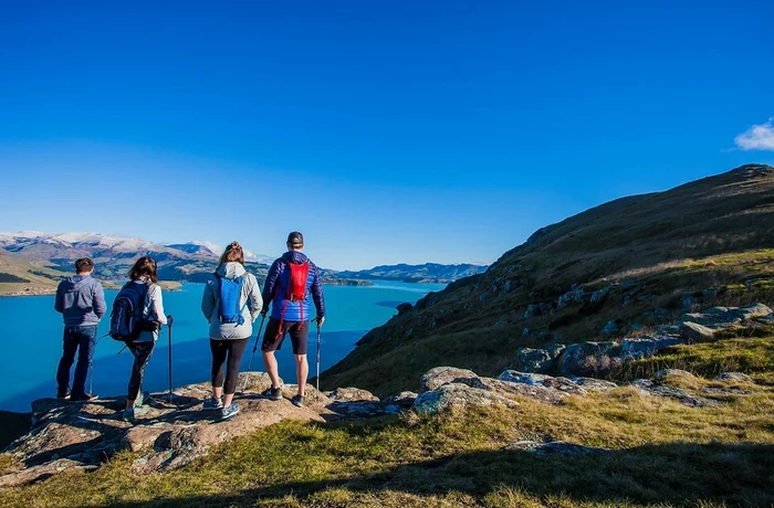
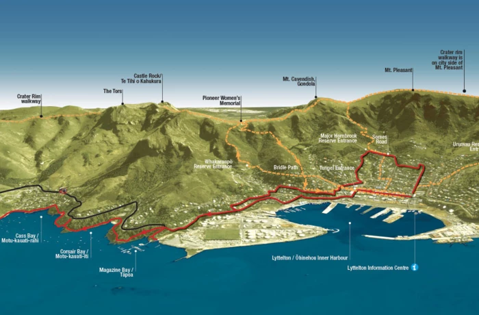
Banks Peninsula walks
Children's activity walks
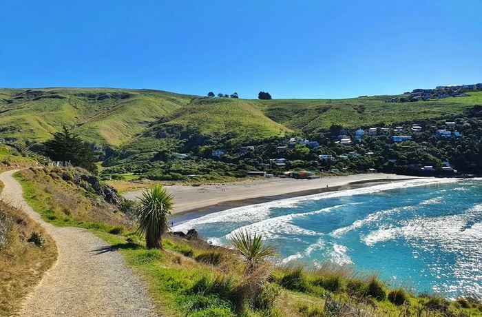
Coastal walk from Lyttelton to Pony Point Reserve
Crater Rim Guided Walks
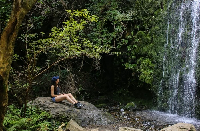
Godley Head / Awaroa Loop Track
Governors Bay to Allandale Track
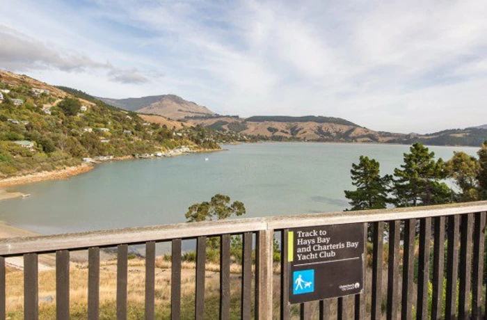
Hays bay to Church bay

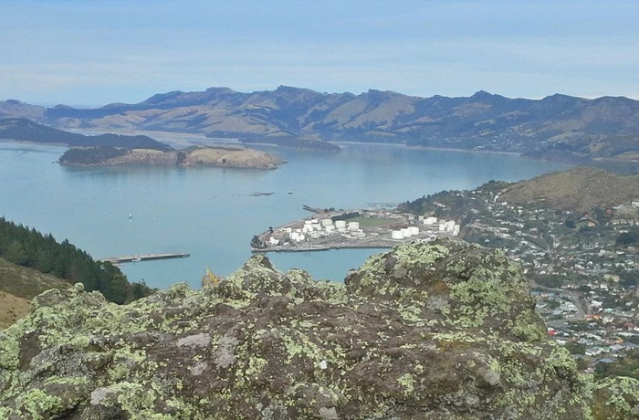
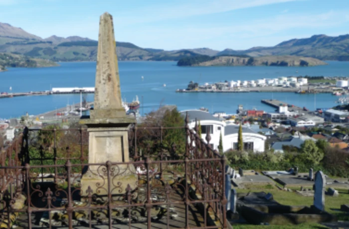
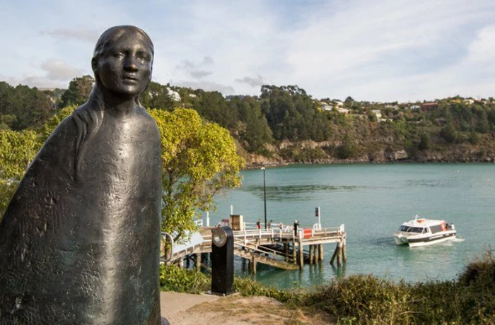
Lyttelton Harbour Highlights
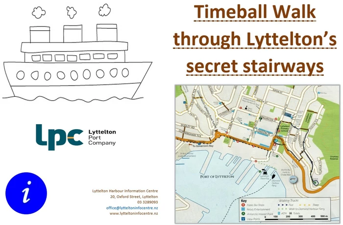
Lyttelton Nooks and Crannies walk
Lyttelton Walking Tracks
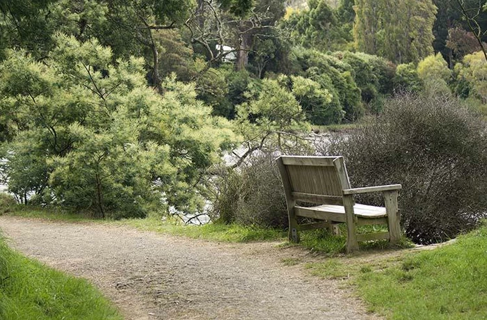
Orton Bradley Park
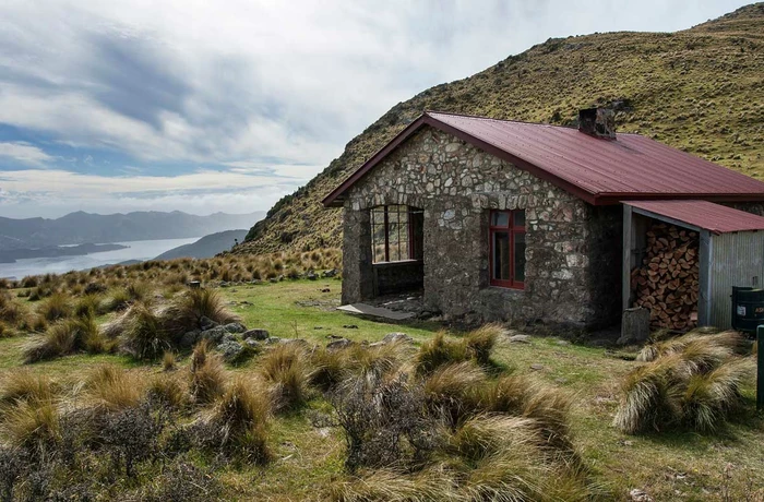
Packhorse Hut

Port Walk
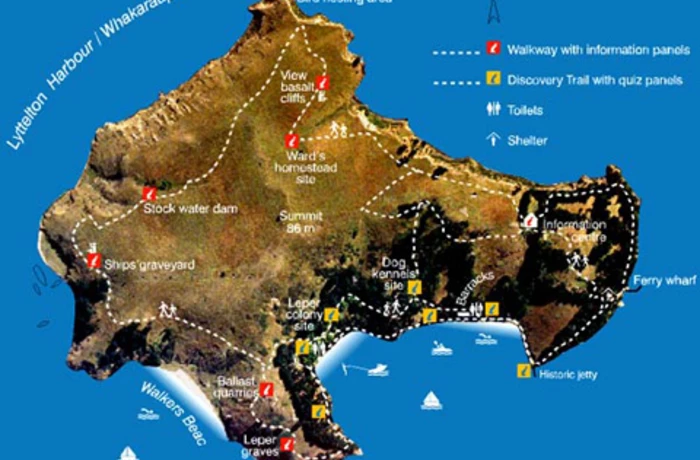
Quail Island
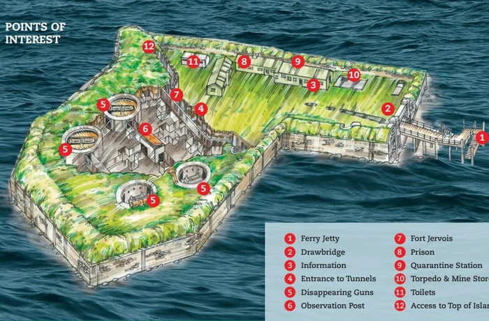
Ripapa Island
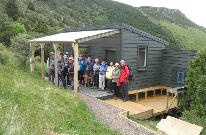
Rod Donald Hut
Stoddart Point Reserve Upoko o Kuri
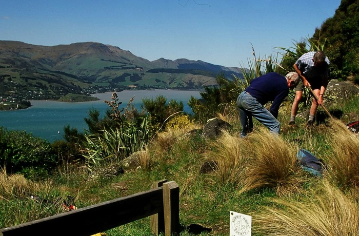
Summit Road Society
Sutton Reserve
Urumau Mountain Bike Track